
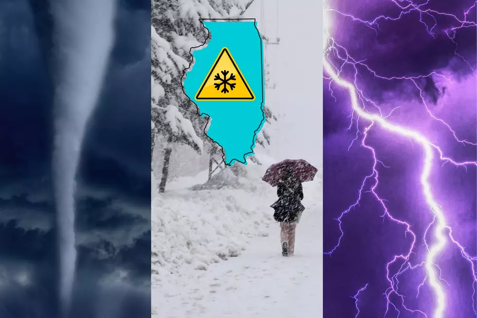
Illinois Weather Could Get Tornadoes, Hail, and Snow in 48 Hours
It looks like we're finally going to pay the bill for a warm February and March with a rare Springtime snow possible in the next couple of days.
According to the latest forecast from the National Weather Service, parts of Illinois will see severe weather with a chance of Tornadoes and large hail through Tuesday morning (4/2).
READ MORE: One of America's Ugliest Cities is Just Across the Illinois State Line
Most of the Severe Thunderstorm and Flood Watches have been issued in downstate Illinois from Bloomington to Effingham where heavy rainfall is causing flash flooding.
Flood Warnings Issued for Parts of Northern Illinois
A Flood Warning has been issued by the National Weather Service for these parts of the Fox River and will continue through at least this Friday (4/5).
- Fox River at Dayton affecting La Salle County.
- Fox River at Algonquin Lock and Dam tailwater affecting McHenry, Kane, and Lake Counties in Illinois.
Illinois Has Chance of Spring Snow for 3 Straight Days Beginning Tuesday (4/2)
While some communities and villages in Central Illinois are still dealing with severe thunderstorms and flooding, we're about to have several consecutive days of precipitation including accumulating snow.

Some forecast models are predicting snowfall totals in some parts of Northern Illinois and Southeastern Wisconsin between 2 and 5 inches, with a possibility of some areas getting a half-foot of April snow.
According to the current Rockford region forecast from The Weather Channel, there's a chance of snow on Tuesday, Wednesday, and Thursday.
How Much Snow Will Rockford Get This Week?
Latest forecast predictions have less than a half inch of snow falling in Rockford during the day Tuesday, and around an inch possibly on Tuesday night when there's an 80 percent chance of precipitation.
Wednesday's forecast has a 90 percent chance of precipitation which will likely be snow with a high temperature expected to be in the mid-30s and about an inch of snow accumulation expected.
There's a 20 percent chance of a rain and snow mix heading into Thursday when the High should be in the lower 40s, according to the National Weather Service.
LOOK: The most expensive weather and climate disasters in recent decades
Gallery Credit: KATELYN LEBOFF
LOOK: The most extreme temperatures in the history of every state
Gallery Credit: Anuradha Varanasi