
Albion, Illinois Had a 3.8 Magnitude Earthquake This Morning
The strongest earthquake in years was recorded in Southern Illinois just before 7:00 this morning, centered in Albion near the Indiana border.
According to the Belleville News-Democrat:
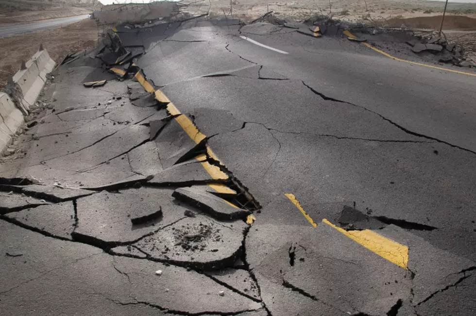
United States Geological Survey officials reported the earthquake at a magnitude of 3.8 — which is often felt by people, but causes little damage.
“Intensity is based on the observed effects of ground shaking on people, buildings, and natural features,” USGS officials wrote. “It varies from place to place within the disturbed region depending on the location of the observer with respect to the earthquake epicenter.”
The largest earthquake Southern Illinois has ever seen was recorded at a magnitude of 5.4 in 1968.
As for earthquakes centered in Illinois, this is the largest one since April 2008, when a 4.0 earthquake rocked an area about 6 miles northwest of Mount Carmel, Illinois — which is about 140 miles east of Belleville.
Southern Illinois is within the New Madrid Seismic Zone. This zone is the most active seismic area in the country east of the Rocky Mountains, according to Missouri Department of Natural Resources.
Illinois is no stranger to big earthquakes, although it has been awhile (over 200 years) since we've had an earthquake like these described on the United States Geological Survey's website:
In the winter of 1811 and 1812, the New Madrid seismic zone generated a sequence of earthquakes that lasted for several months and included three very large earthquakes estimated to be between magnitude 7 and 8. The three largest 1811-1812 earthquakes destroyed several settlements along the Mississippi River, caused minor structural damage as far away as Cincinnati, Ohio, and St. Louis, Missouri, and were felt as far away as Hartford, Connecticut, Charleston, South Carolina, and New Orleans, Louisiana. In the New Madrid region, the earthquakes dramatically affected the landscape. They caused bank failures along the Mississippi River, landslides along Chickasaw Bluffs in Kentucky and Tennessee, and uplift and subsidence of large tracts of land in the Mississippi River floodplain. One such uplift related to faulting near New Madrid, Missouri, temporarily forced the Mississippi River to flow backwards. In addition, the earthquakes liquefied subsurface sediment over a large area and at great distances resulting in ground fissuring and violent venting of water and sediment. One account of this phenomena stated that the Pemiscot Bayou "blew up for a distance of nearly fifty miles."
After the earthquake [of 1811-1812] moderated in violence, the country exhibited a melancholy aspect of chasms, of sand covering the earth, of trees thrown down, or lying at an angle of forty-five degrees, or split in the middle. The Little Prarie settlement was broken up. The Great Prarie settlement, one of the most flourishing before on the west bank of the Mississippi, was much diminished. New Madrid dwindled to insignificance and decay; the people trembling in their miserable hovels at the distant and melancholy rumbling of the approaching shocks.
Speaking of Illinois earthquakes, lets take you back to February of 2010:
More From WROK 1440 AM / 96.1 FM