
Possible Winter Storm Could Unleash Substantial Snow on Illinois This Week
Just as the last of the dirty snow starts to melt and we're enjoying the mid-February highs around 50 degrees, a dip in temperatures is heading our way, along with another round of snow.
According to the current National Weather Service forecast for the Chicagoland area, temps will still be close to 50 degrees for Valentine's Day (Tuesday 2/14), but there's a 100 percent chance of rain on Tuesday night.
Wednesday's highs will also be in the mid-40s to 50 degrees for the Chicago and Rockford region but the winds will start to pick up with gusts around 40 mph.
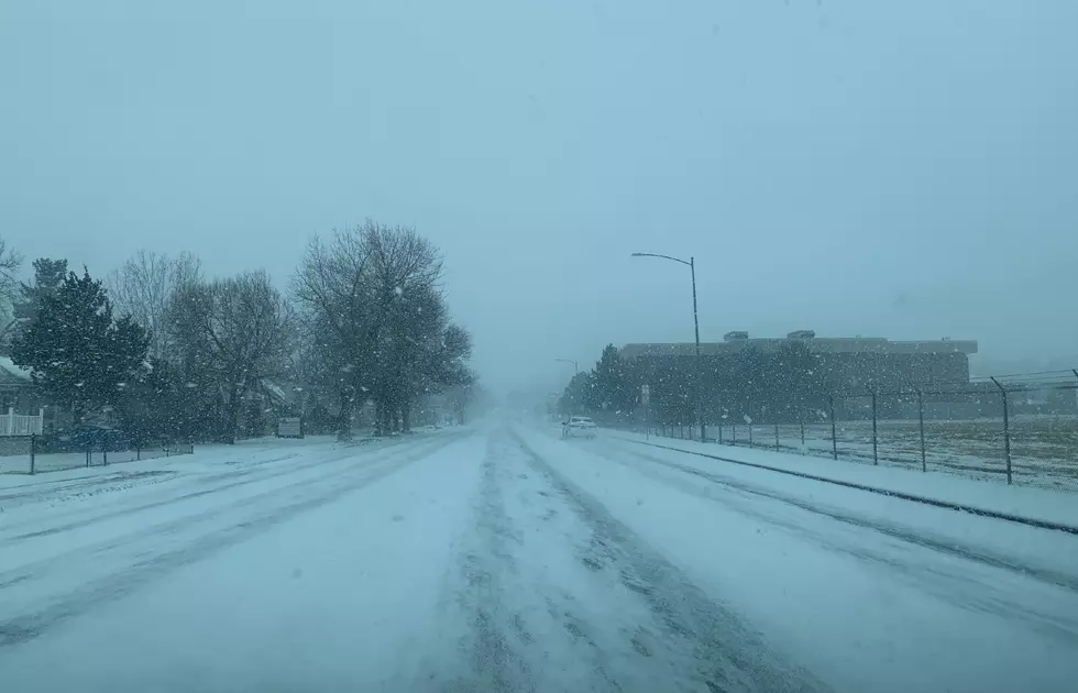
Late on Wednesday night, the rain is expected to begin in northern Illinois and turn to all snow by early Thursday morning (2/16) and continue throughout the day and into Thursday evening.
According to the Weather Channel forecast, up to 3 inches of total accumulation is possible for Chicago and Rockford by Friday morning (2/17).
On the Wisconsin side, 1 to 3 inches of accumulation is expected from Beloit to Madison by Friday.
After the snow arrives on Thursday, temperatures will stay below the freezing mark with a high expected to be around 30, and lows close to single digits Thursday night in the Rockford area.
The high temperature on Friday is only going to reach the mid-20s and lows will be in the teens on Friday night, according to the current NWS forecast for the Rockford region.
Temperatures will rebound back to the mid-40s on Saturday and could be close to 50 in Rockford by Sunday (2/19), according to the latest extended forecast from the Weather Channel.
For the current forecast for Chicago from the National Weather Service, CLICK HERE.
Rockford's extended forecast from the Weather Channel is available HERE.
LOOK: Here are the best small towns to live in across America
LOOK: The most extreme temperatures in the history of every state
More From WROK 1440 AM / 96.1 FM

